-
Role
Prime Consultant
Landscape Architect
Services
Landscape Architecture
Nature-based Design
Client
Metro Vancouver
Collaborators
Local Practice
Dillon Consulting
Surrey Bend Regional Park is a landscape dominated by the ebb and flow of water. It is a place that celebrates the character of the River and the intricate wetlands resulting through the interaction of complex systems of hydrologic processes. It is a place that allows visitors to travel back in time to catch a glimpse of what the Fraser River floodplain looked like many generations ago.
As its name suggests, Surrey Bend sits along a broad arch of one of Canada’s great rivers - the Fraser. While much of the frontage along the river serves industrial uses and is diked to manage flooding, Surrey Bend is situated on an undiked section of the river’s floodplain, making the recently opened park a special place within the region.
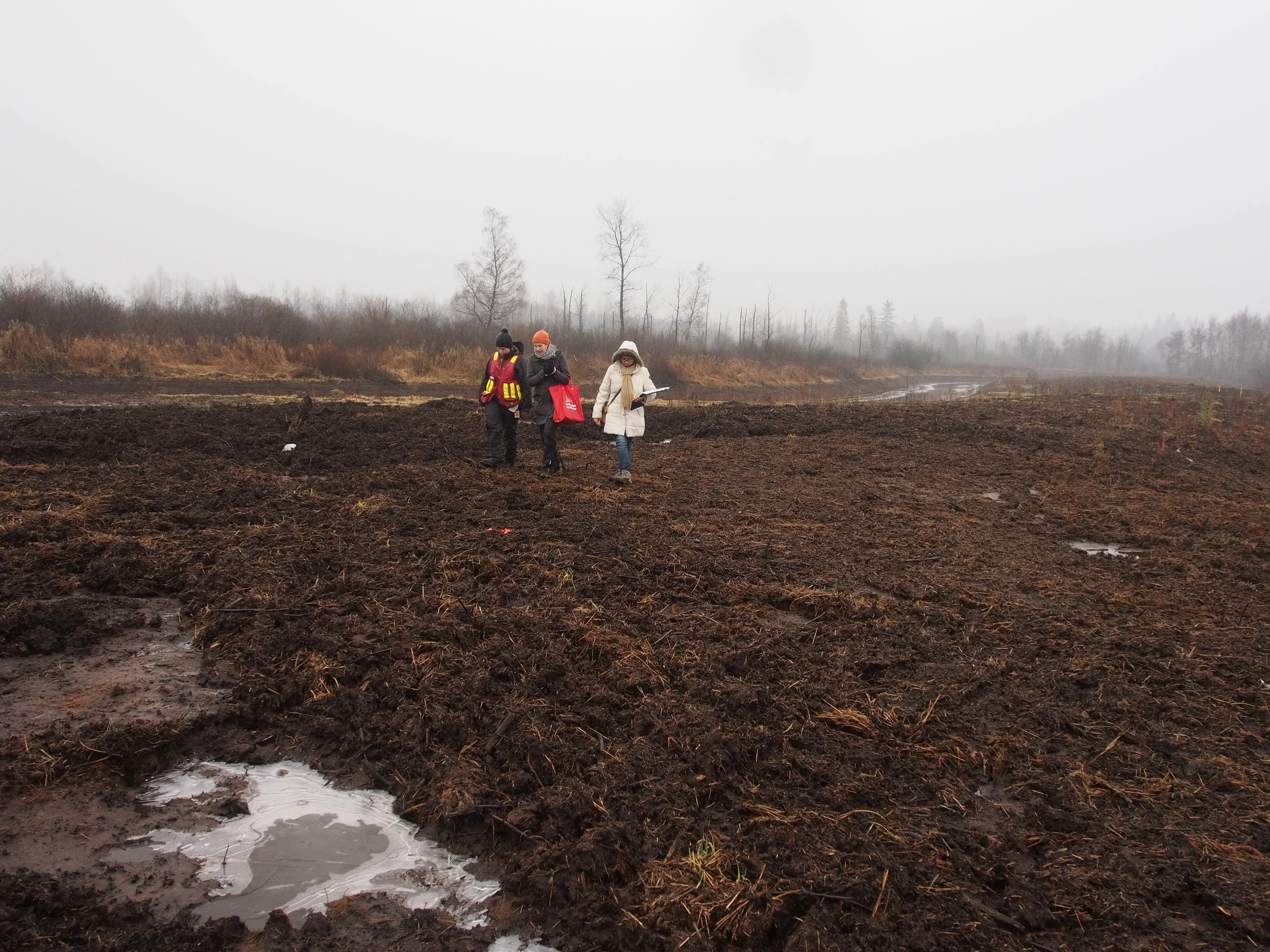
The 10 hectare project site is located within 347 hectares of an undyked floodplain featuring a variety of wetlands. The diversity of these wetlands results from a variety of hydrological processes including daily tidal cycles, seasonal high water levels, past flood events, run off from upland slopes and precipitation.
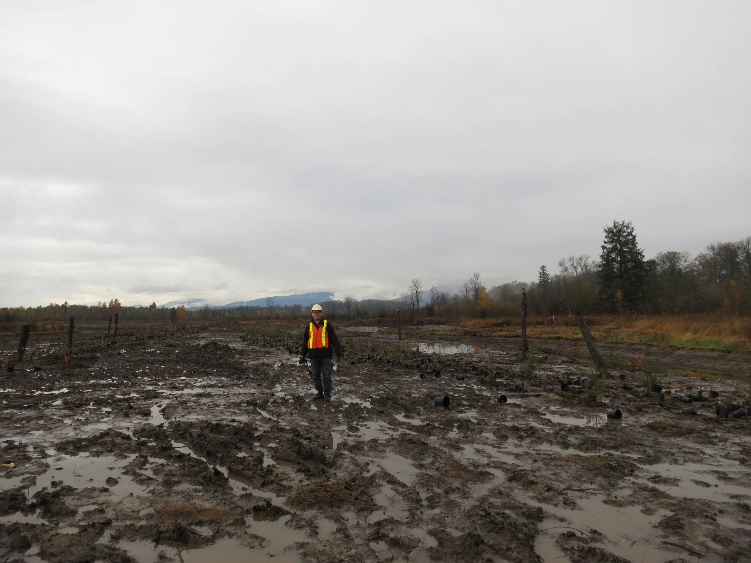
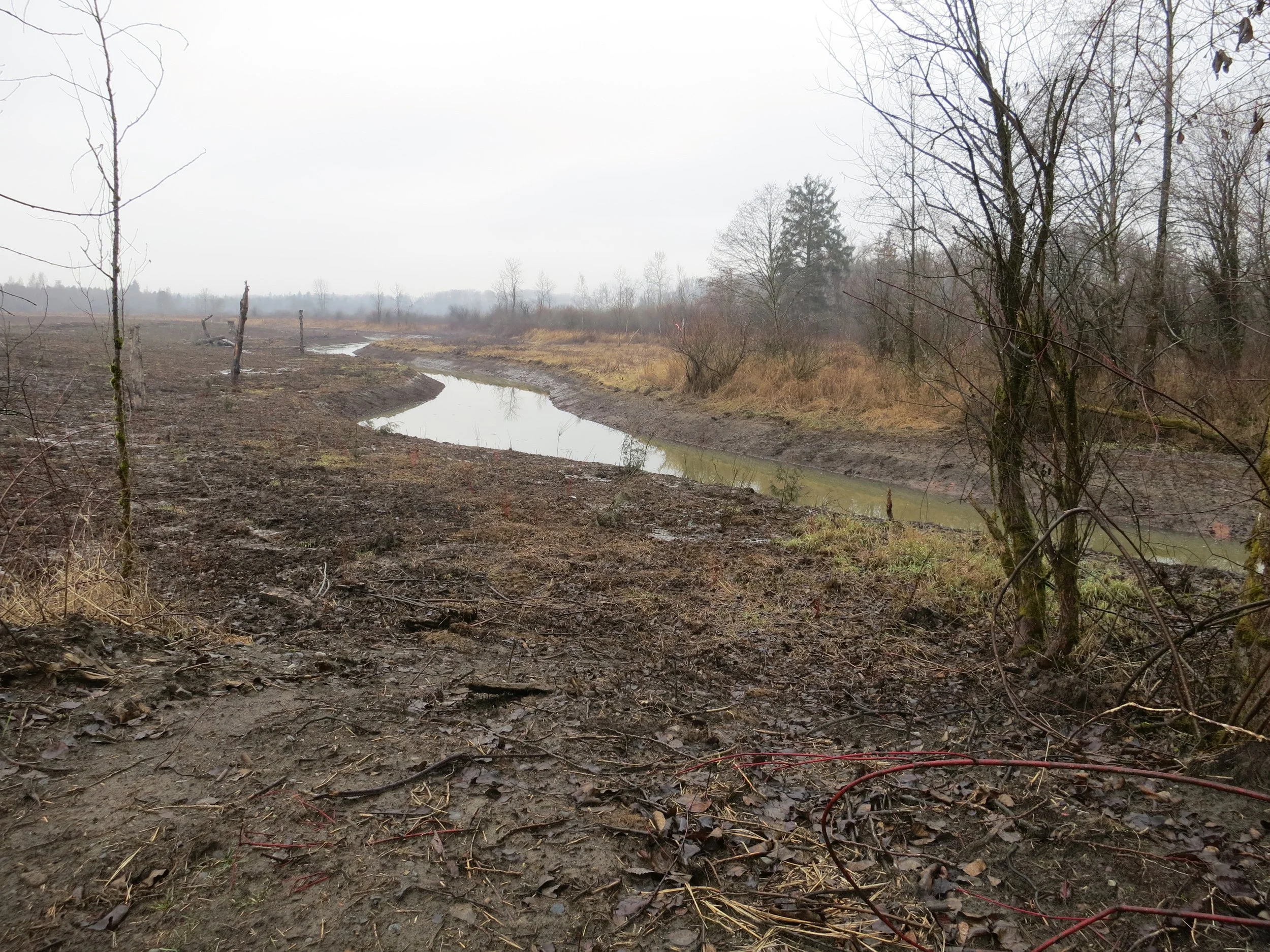
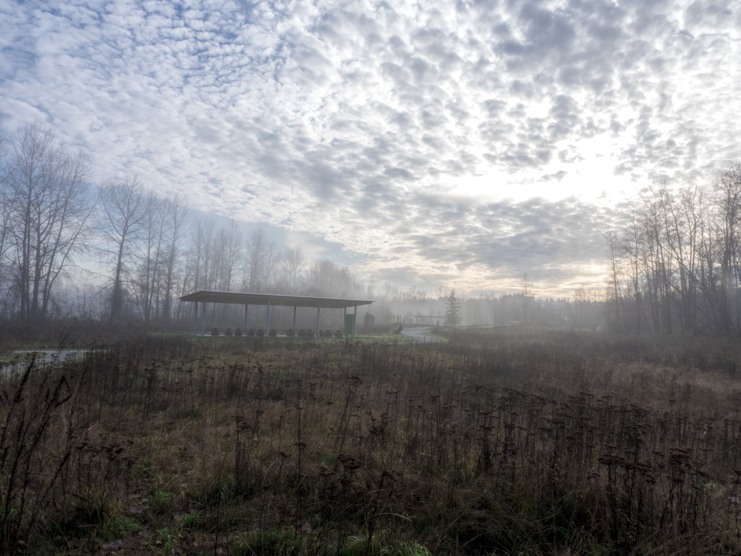
Restorative planting and topography create a series of distinct spatial experiences that relate to the ecology of the site. The park is designed to accommodate and celebrate regular flooding. Rainfall is captured in new swales and wetlands, and integrated with the hydrology of the site. Site planting has expanded the riparian forest, created native meadow areas, and provides a large, open, low-maintenance lawn area for group gatherings and special events.
At a time when many of our sensitive landscapes are being threatened, Surrey Bend is an important precedent demonstrating the viability of regenerating damaged landscapes and providing opportunities for people to experience a large, natural landscape within a city.
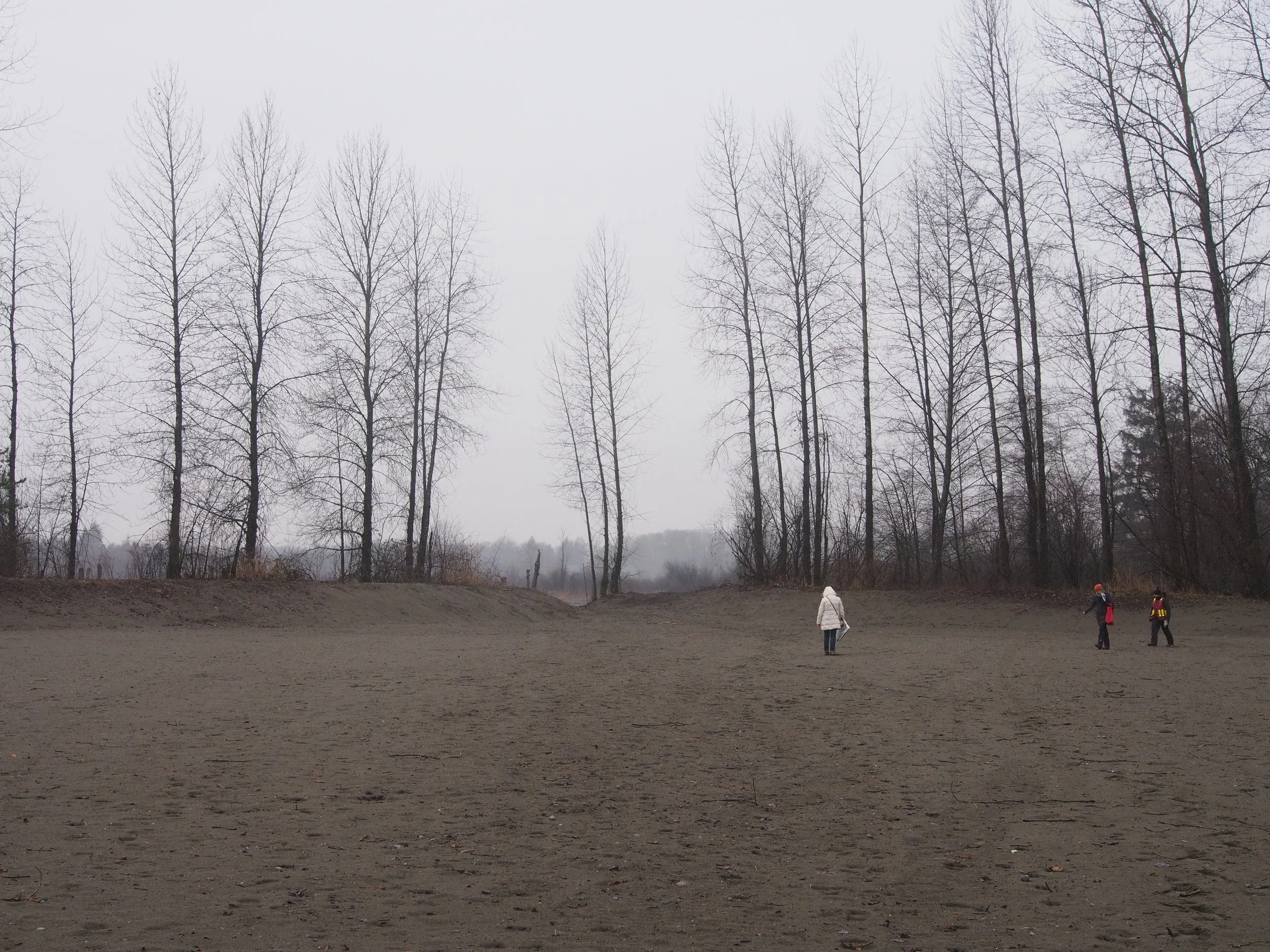
Prior to the restoration, the disturbed fill site felt like a distinct space removed from the adjacent bog landscape. Recognizing the potential to integrate these landscapes, space2place strategically cleared thickets of trees creating view corridors and establishing long views down the bog and extending the landscape of the surrounding ecosystems within the newly created park space. This critical move creates an experience that arouses curiosity in visitors, drawing them to explore the larger landscape.
Concept sketch of the nature-based play area.
Concept sketch of the bridge bench over the constructed fish channel.
This sequence of photographs captures the dynamic qualities of the landscape as it transforms throughout the seasons.
Selected Process Photos
Before
After


